Adapted from a release written by Alison Auld for Dalhousie University

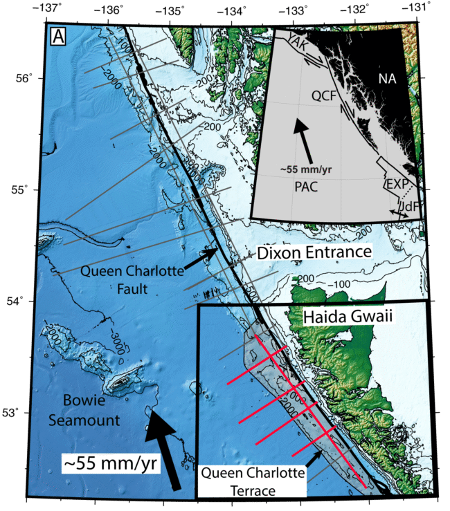
A new study published in Science Advances has revealed the first detailed images of a newly developing subduction zone off the coast of British Columbia’s Haida Gwaii archipelago.
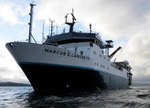
The international team of researchers collected the data for this study during a 2021 cruise by the Lamont-Doherty Earth Observatory’s research vessel, the Marcus G. Langseth. They used a 15-kilometer-long underwater cable equipped with thousands of underwater microphones, called hydrophones, in the area off northern British Columbia to map the deep structure of the Earth’s subsurface.
Their data confirmed that the Queen Charlotte fault system can generate powerful megathrust earthquakes, which are capable of producing strong shaking and tsunamis.

Megathrusts are found in areas where one tectonic plate dives beneath another, in this case the Pacific plate being pushed under the North American plate. This area is known for generating powerful tremors. In fact, the Queen Charlotte fault system represents the greatest seismic hazard in Canada, producing the country’s largest recorded earthquake in 1949 and a notable earthquake in 2012 that created a tsunami.
“This region is actively becoming a subduction zone, so understanding the fault structure here tells us about the early stages of subduction zone development,” says lead author Collin Brandl, a postdoctoral research scientist at the Lamont-Doherty Earth Observatory, part of the Columbia Climate School. “Our study provides the first direct observations of the Haida Gwaii thrust, the “megathrust” of this system, which can help improve hazard analysis in the region, better preparing residents for future earthquakes and tsunamis.”
Brandl’s co-authors are part of an international team, with scientists from the University of New Mexico, Western Washington University, the U.S. Naval Research Laboratory, Boise State University, Nova Scotia’s Dalhousie University, the University of British Columbia, the University of Victoria, the Geological Survey of Canada, and the Universidad de Chile.
Press interviews with Collin Brandl can be arranged by emailing press@columbia.edu.


